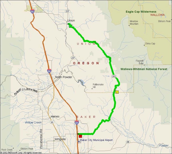
While not a destination road in its own right, this is another road that presents a refreshing alternative from slabbing down I-84 wearing the middle of your tires out.
The interesting part starts south of Union where 203 heads southeast around the outside of the hills at the edge of the Powder River valley. The southern end swings back around to the west where it meets back up with I-84 at exit 298.
- Counties: Baker, Union
- Length: 38 miles
- Towns: Benson, Jameston, Medical Springs, Miles, Park, Pondosa, Sunset, Union
Overview Map:
Google Map for Medical Springs Highway: