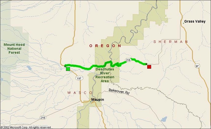
This road is a fun little stretch of highway that zips across the Deschutes River Valley (via Tygh Valley) south of Tygh Ridge. The road intersects with US 197 about 7-8 miles north of Maupin’s sweet twisties and heads back to the Deschutes River and its own set of twisties.
There’s fuel and food in Maupin, whose location down in the narrow river valley is really quite interesting. The speed limits are low in town, but that still doesn’t prevent you from scriping pegs on the south side of the valley or leaning over on the sharper curves going up the hill on the north side.
The twisty bits themselves in the Deschutes River Valley are like a mini-Rattlesnake Grade. Just like WA 129/Oregon Route 3, you go down from a ridgetop through an impressive set of twisties and cross a reiver before heading back up the other side.
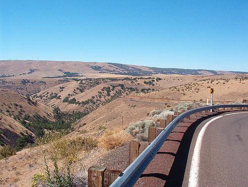
Deschutes River Valley from atop the East side of the ridge:
Deschutes River just upstream from Sherar’s Bridge:
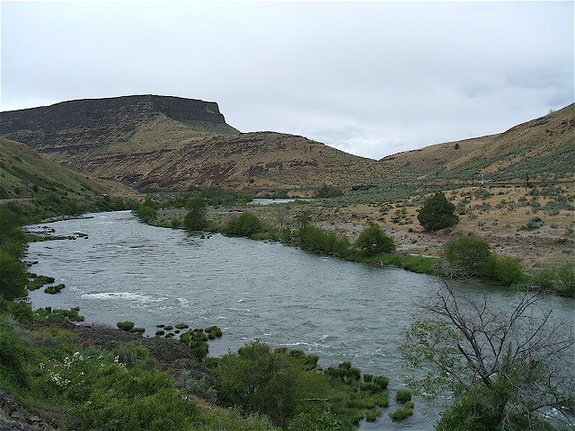
Photo by Glenn Williams (CC: Attribution)
- Road Name: Oregon Route 216 (Tygh Valley-Buckley)
- Counties: Wasco
- Length: 17
- Towns: Buckley, Fargher, Sherar Grabe, Tygh Valley
Overview Map:
Google Map for Oregon Route 216: