This little stretch of road is a welcome break if you’re droning along I-84. I’ve seen it mentioned in a number of different motorcycle forums as an alternative route to whatever other road they had originally planned to do.
Obvious from the responses of other motorcyclists, it’s not perceived as a destination road in its on right on the merit of its own twisties, but I rather like it from the aforementioned welcome break from droning and the historic merits of this road as past of the Oregon Trail and an old US-30 alignment.
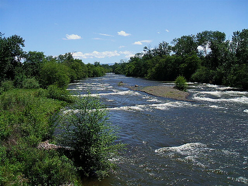
While it often looked down upon by motorcyclists, it’s a very scenic route with rolling hills and the Umatilla River nearby. Indeed, it’s a notable favorite of long-distance bicyclists who are avoiding the trash-filled shoulders of nearby Interstate 84. The OPRR itself isn’t exactly race-track smooth as it’s a lightly-traveled County Road throughout its length. I think it’s one that you’ll enjoy if you’re not in a hurry.
Photo below: Glen Williams (Creative Commons: BY-SA)

- County: Umatilla
- Length: 23 miles
- Towns: Pendleton, Echo, Stanfield
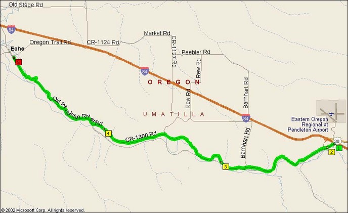
Overview Map:

Google Route Map: