Way back in the opening decades of the 20th Century, an amazing road was designed by the Oregon State Highway Department and highway engineer Samuel C. Lancaster. An fantastic routing full of viewpoints, waterfalls, tunnels, and curves of all shapes and sizes.
It was described by John Arthur Elliot:
The ideals sought were not the usual economic features and considerations given the location of a trunk highway. Grades, curvature, distance and even expense were sacrificed to reach some scenic vista or to develop a particularly interesting point. All the natural beauty spots were fixed as control points and the location adjusted to include them. Although the highway would have a commercial value in connecting the Coast country with the eastern areas, no consideration was given the commercial over scenic requirements. The one prevailing idea in the location and construction was to make this highway a great scenic boulevard surpassing all other highways of the world.
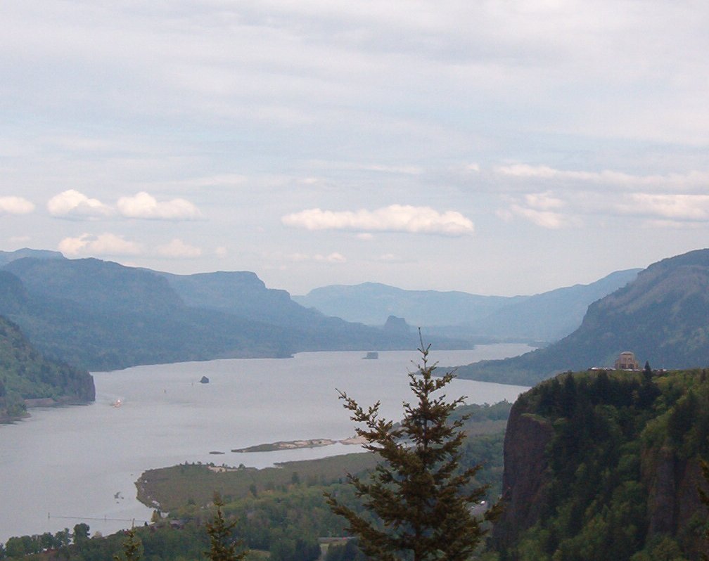
View from the Women’s Forum up the river
I truly loved this road. Sure, it’s full of tourists on the weekend and nice days and the speed limit is pretty much 30-35, but the curves are really great. They built this road for the ages, without a doubt. There’s a number of great waterfalls along the road, with little parking areas next to them for getting up close and personal with the water cascading down the side of the bluff. There’s many scenic overlooks built out of Cascades granite along the road where you can sit and rest for a minute or an hour. Small wonder really, as Lancaster designed it as a “destination unto itself” in the words of the National Scenic Byways Program. The first truly destination highway in North America and inspired by the roads that Mr. Hill and Mr. Lancaster saw in the Rhine River Valley.
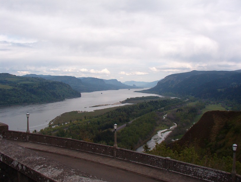
View East from Vista House
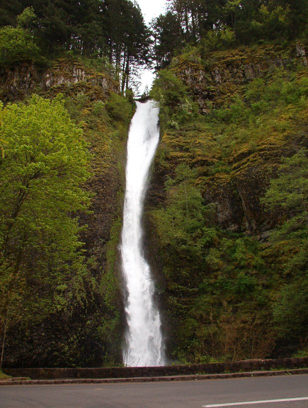
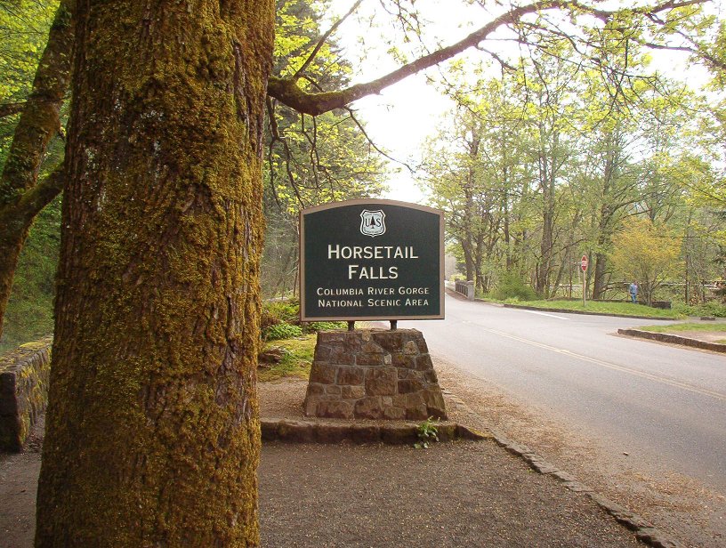
Horse Tail Falls
Back to today’s road.
You do need to watch out for the usual distracted drivers gawking at the scenery and crossing the center line. And on nice days the bicycles can be awfully rude, but at least motorcycle can usually slide around them since the road is wide enough for both kinds of bikes. You do need to watch out for rockfall on a few spots as well, as some of the roads can fall down from up on the bluff.
Parking is often an issue at these tiny little State Parks too, so I recommend visiting during nice weekdays if at all possible. This also avoids the backups of vehicles stopping in the roadways for the heavily-used crosswalks since the parking is usually across the road from the attractions.
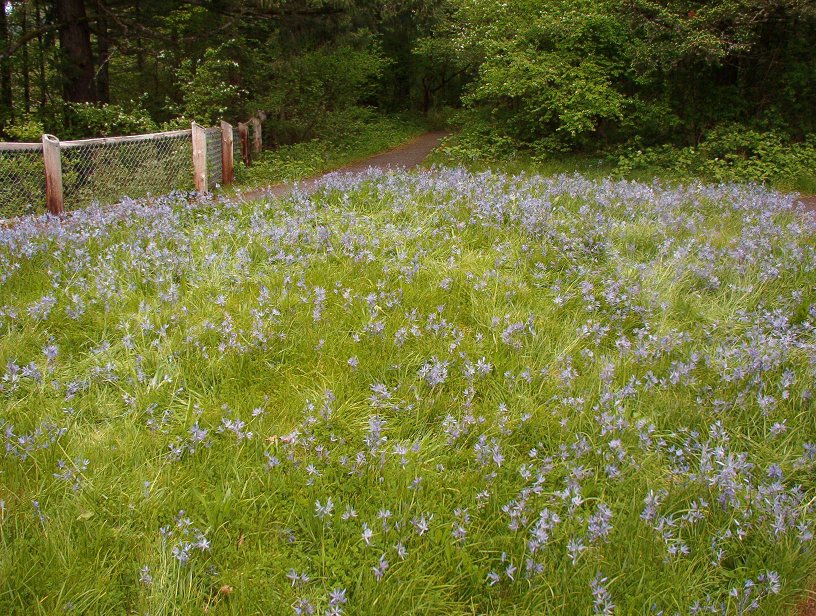
A small camas field atop the bluff
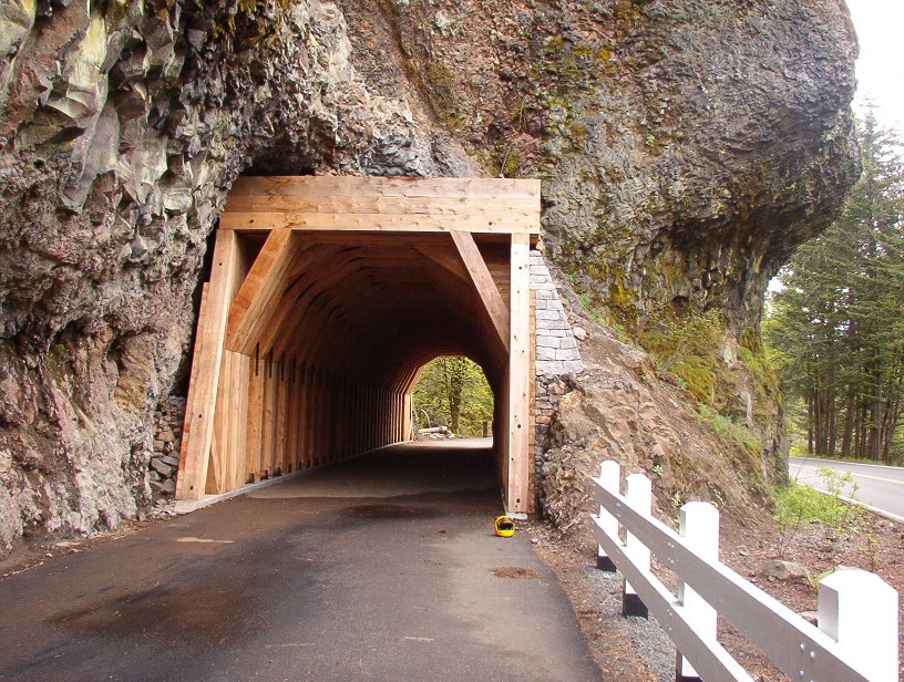
Rebuilt tunnel
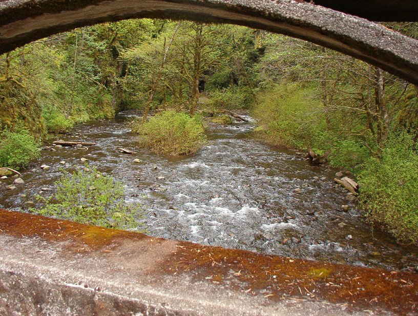
Creek by the tunnel
View of the bluff across the river from the camas fields

Well worth the trip. I spent most of an afternoon sitting on various benches watching the river and the flowers and the tourists cruise by in vintage cars.
- County: Multnomah
- Length: 22 miles
- Towns: Troutdale, Corbett, Latourell, Bridal Veil