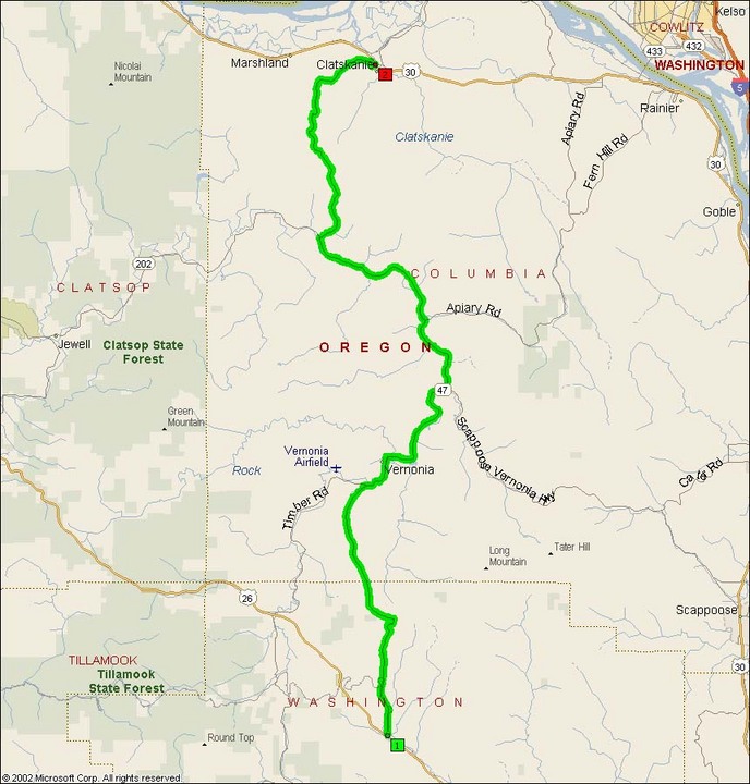
OR 47 is a gnarly little highway that climbs up out of the Columbia River town of Clatskanie and into the Oregon Coastal Range. Immediately upon taking this oddly hidden turn-off, you get into tight curves. The first 11 miles are extremely technical, with a relentless series of elevation changes and S-curves that demand a high level of focus. My DL acquitted itself quite well on this road. I was able to maintain 40-45mph through most of the curves, and the very experienced rider accompanying me on that trip riding his ZX-10 enjoyed those curves immensely.OR 47 runs through several small towns up in the hills, including Natal, Mist, Trehame, Pittsburg, and the largest Vernonia. These towns have relatively low speeds limits after such exciting curves, and it’s easy to go through town a little fast and end up donating to the town budget.
For most of this route, there’s not much in the way of services. It’s reputed that there’s a gas station in Vernonia to the west of the highway, which I did not see. But if fuel range is generally a concern for your motorcycle, I would recommend gassing up at Clatskanie or at one of the service stations on US 26 at the south end.
One note of caution on OR 47. OR 47 is a logging truck road. Anyone who has experienced logging trucks before understands that they’re large, usually driving way too fast, and have an unpleasant tendency to take up both sides of the road. This road is no exception.
- Road Name: Oregon Route 47 (Buxton-Clatskanie)
- Counties: Columbia(OR), Washington(OR)
- Length: 42
- Towns: Braun, Buxton, Clatskanie, Mist, Natal, Pittsburg, Trehaine, Vernonia
Overview Map:
Google Map: