Coming up out of LaGrande at Exit 248, you can still experience part of the Old US 30 highway before Interstate 84 was gouged out of the rocks of the Blue Mountains.
The hills up here are very dry and rugged. The east end of the roadway comes up off the Interstate at 3400′ and follows a river up alongside the active Union Pacific rail-line and cresting over 4300′ before crossing back under the Interstate and rolling on up to Meacham where President Harding commemorated the Oregon Trail back in 1933.
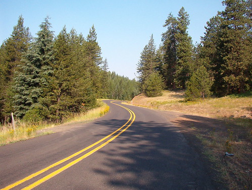
The road quality in the upper (eastern) section is really good. It looks like it got a repave in the last few years as the paint lines are still bright and sharp and the roadway isn’t bleached by the sun.
View up Emigrant Grade:
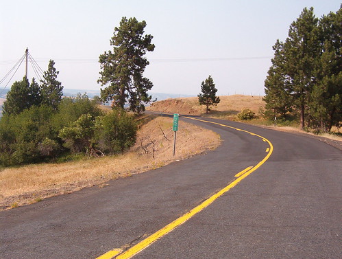
Once you’ve gone through the near-ghost town of Meacham, you roll on up through the Emigrant Springs State Park (camping available) and out towards Deadman Pass. The roadway here isn’t quite as nice as the western sections, but you can still see some of the old highway mileage markers that ODOT hasn’t bothered to remove.
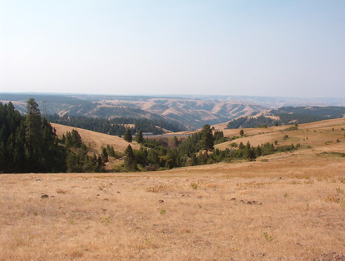
View to the south towards I-84 from atop Deadman’s Pass:
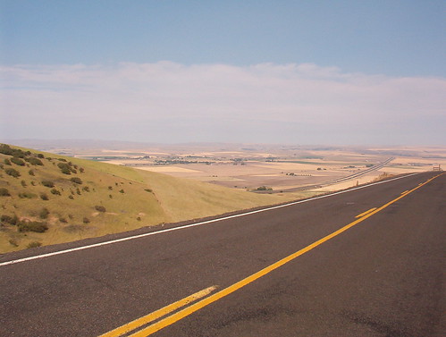
Clear out at the western end right at the western edge of the Blue Mountains, you got an amazing view out to Pendleton in the distance. Figuring that the Blue Mountains aren’t all that tall, it’s pretty amazing that you can still see that far.
The road quality is not quite as good as the eastern section in this western third, but the road is much quieter and the sweepers turn into switchbacks and hairpins. Really fun riding as long as there’s not too much gravel in the corners.
Do be careful when riding this road and not take your GPS or map recommendations too literally. Keep plenty of fuel in your tank and use common sense when navigating. The road signs on this road are actually pretty good since the road itself is a bit confusing, but the maps are hopelessly inaccurate when it comes to what’s the major route, what’s a gravel side-road, and what’s not even really there at all.
- Counties: Union, Umatilla
- Length: 37 miles
- Towns: Kamela, Meacham, Mission
Google Map:
View Larger Map